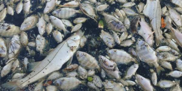
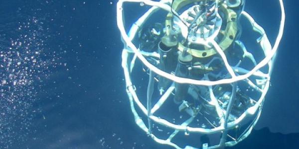
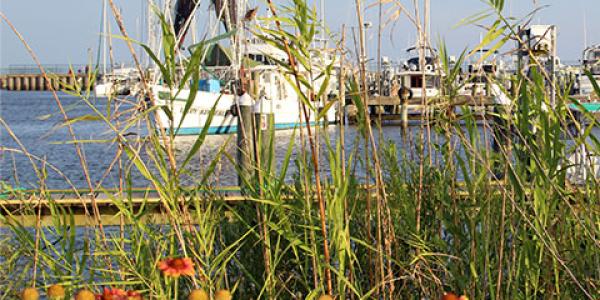
The Phytoplankton Monitoring Network (PMN) is a NOAA sponsored outreach program that teaches students, teachers, and the general public about phytoplankton and harmful algal blooms. Volunteers collect data samples at various sites along the coasts of many states, as well as the U.S. Virgin Islands. The PMN interactive map provides access to data collected from 2001 through the present, and allows users to create custom queries for specific information on the 40 different species of phytoplankton included in the database.
Resources
Map Layer Data
- Phytoplankton Analysis: Phytoplankton counts and abundance ratios obtained from surface tows and misc. environmental information.
- Sampling Locations: Collection site names, and a list phytoplankton species found at each location.
- Buoys: Buoy locations and support information.
- Radar: The base reflectivity image from the network of National Weather Service Doppler radars.


