
NOAA and NCEI provide data access and archive services for Level 2 (L2) and Level 3 (L3) satellite ocean color (OC) products generated by NOAA CoastWatch/OceanWatch (CoastWatch), an operational program that processes and distributes near real-time satellite oceanographic data used to manage U.S. coastal resources and understand climate variability.
The ocean color products archive is housed in NOAA's Comprehensive Large Array-data Stewardship System (CLASS), which manages information technology in support of the archive (ingest, archival storage, and access). NCEI is responsible for overall archive services, including preservation planning, scientific stewardship, documentation and metadata management.
Visible Infrared Imaging Radiometer Suite (VIIRS) on-board the Suomi National Polar-orbiting Partnership (S-NPP) Satellite
- L2/L3 Ocean Color Reprocessed Science Quality Data (chlorophyll, KdPAR, Kd490 and water leaving radiances): Jan 2, 2012 to present minus 15 days; S-NPP NOAA MSL12
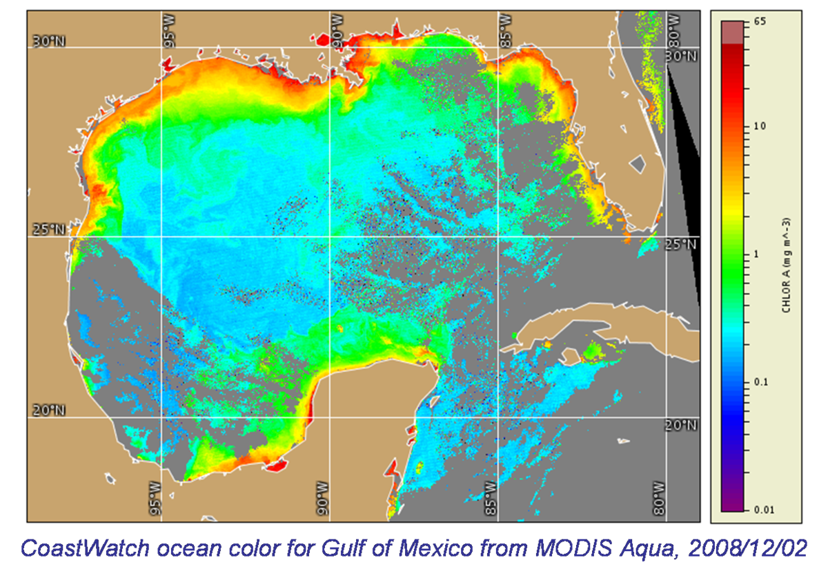
Moderate Resolution Imaging Spectroradiometer (MODIS) on board NASA Aqua and Terra Satellites
Aqua Chlorophyll Frontal Products: Oct 2012–Present
MODIS, MERIS, and SeaWIFS Products
- MODIS products: April 2002–Present
- Medium Resolution Imaging Spectroradiometer (MERIS) on board the European Space Agency's (ESA) Envisat platform: April 2002–2012
- Sea-viewing Wide Field-of-view Sensor (SeaWiFS): Sept 1997– Sept 2010
MODIS, MERIS, and SeaWIFS in CLASS
While MODIS data is freely and openly accessible to the public, access to SeaWiFS and MERIS data is restricted to users covered by the SeaWiFS CoastWatch contract or registered with ESA, respectively. Contact the NCEI satellite oceanography team at NCEI.info@noaa.gov to learn more about becoming an authorized member.
Note that CLASS is a high-latency tape storage system, and there may be some wait involved when accessing data.
Product Information
Data used to develop ocean color products are produced by the NESDIS Center for Satellite Applications and Research (STAR) OC team using the Multi-Sensor Level-1 to Level-2 (MSL12) ocean color data processing system. Science quality OC Environmental Data Records are produced using the significantly improved VIIRS Sensor Data Records (SDR or Level-1B data), which are generated by the OC team (named OC-SDR) using both solar and lunar approaches, and assimilated ancillary input data (as opposed to model predicted data used in near-real time data production). MSL12 and the OC-SDR calibration improvements were developed by the STAR OC team.
The L2 ocean color products generated by CoastWatch from SeaWiFS, MODIS, and MERIS data consist primarily of spatial information on chlorophyll-a concentration, as well as turbidity (reflectance), covering 13 CoastWatch regions globally. Products derived from all three sensors have approximately 1 km-per-pixel resolution, and are delivered as both daily and 61-day composites. All files are in CoastWatch Hierarchical Data Format (HDF). The SeaWiFS instrument was launched by Orbital Sciences Corporation on the OrbView-2 (a.k.a. SeaStar) satellite in August 1997, and collected data from September 1997 until the end of mission in December 2010. The MERIS is a medium-spectral resolution imaging spectrometer operating in the solar reflective spectral range and its data covers the time period from April 29, 2002 to April 8, 2012.


