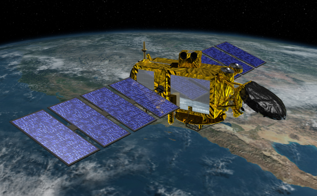
Jason-3
January 17, 2016–Present
Level-2 X-GDR
Citation
Lillibridge, John; US DOC/NOAA/NESDIS > Office of Satellite Data Processing and Distribution (2019). Jason-3 Level-2 Operational, Interim and Final Geophysical Data Records (X-GDR), 2016 to present (NCEI Accession 0122595). [indicate subset used]. NOAA National Centers for Environmental Information. Unpublished Dataset. https://www.ncei.noaa.gov/archive/accession/0122595. Accessed [date].
OSTM/Jason-2
June 20, 2008–October 1, 2019
Level-2 X-GDR
Citation
Cite as: NOAA/NESDIS Office of Satellite and Product Operations; NOAA/NESDIS Office of Satellite Data Processing and Distribution (2008). OSTM/Jason-2 Level-2 Geophysical Data Records (GDR), 2008 to 2019. [indicate subset used]. NOAA National Centers for Environmental Information. Dataset. https://www.ncei.noaa.gov/archive/accession/OSTM-Jason2-xGDR. Accessed [date].
Jason-3 and OSTM/Jason-2 data are consolidated into Geophysical Data Records (GDR) that are divided into the following quality control tiers:
Operational (OGDR)
- Produced within 1-2 hours of the satellite overflight
- Lowest quality data, missing more data than other GDR types
- Useful for time-critical applications
Interim (IGDR)
- Produced within 1-2 days of overflight
- Higher orbital quality
Final (GDR)
- Produced with a 60-day time lag
- Best quality
Related Products and Datasets
- NASA and NOAA Altimetric and Ocean Surface Topography Data Information
- RADS (Radar Altimeter Database System) *
- CTOH: high-frequency along-track data and coastal products
- PISTACH: experimental coastal products for Jason-2
- CNES Data Center: A sister site with the official Jason-2 xGDRs, auxiliary and ancillary data as well as similar records for TOPEX/Poseidon, Jason-1, Envisat, and Cryosat. Hosted by AVISO.
Archive Details
Services
All critical archive functions for OSTM/Jason-2 data were established and rigorously tested through comprehensive NOAA and Four Partner Operational Readiness Reviews. An ISO description for each OSTM/Jason-2 data family is available in CLASS, and ISO 19115 descriptions for Jason-3 were developed in 2015. Quality Assurance for OSTM/Jason-2 and Jason-3 at ingest into the archive is maintained with NRTAVS, a system developed by JPL under contract with NOAA that extends near real time quality monitoring coverage to OSTM/Jason-2. NCEI has also established a Jason Rich Inventory (JRI) system which is being enhanced and operationalized for Jason-3. Standards-based services such as direct ftp, http and OPeNDAP for the X-GDR data are currently supported directly by NCEI, although these functions are expected to transition to CLASS in the future.
Metadata Accessions
- Level-2 X-Geophysical Data Records (O/I/GDR)
- Ancillary Files
- Auxiliary Files
- Near Real-Time Altimetry Validation System (NRTAVS) QA Reports
- Orbital Information
- Packet Telemetry
NOAA's Comprehensive Large-Array Stewardship System (CLASS) provides deep storage for mission data and information, including ancillary, auxiliary, NRTAVS, orbital information, and raw telemetry.
Note: Access to ancillary data and raw telemetry is restricted
About Quality Monitoring Statistics
The Jason-3 and OSTM/Jason-2 data quality monitoring system uses the Rich Inventory developed by the NCEI Enterprise Data Systems Group to provide a searchable database for tracking and discovering data quality, metadata, and dataset attributes. A near real time data quality check comprised of 8 statistics calculated on 23 parameters is performed as each Level-2 data file is ingested into NCEI's archives.
Geophysical Data Record (GDR) and Interim Geophysical Data Record (IGDR) Data Quality Monitoring
Granule Statistics
- Sea Surface Height Anomaly: GDR | IGDR
- Significant Wave Height: GDR | IGDR
- Altimeter Wind Speed: GDR | IGDR
- Difference Between Radiometer Wet Tropospheric and Model Correction: GDR | IGDR
- Difference Between Altimeter and Radiometer Wind Speed: GDR | IGDR
- Radiometer Water Vapor Content: GDR | IGDR
0.25x0.25 lon/lat Degree Parameters
- Sea Surface Height Anomaly: GDR | IGDR
- Significant Wave Height (Ku Band): GDR | IGDR
- Altimeter Wind Speed: GDR | IGDR
- Difference Between Radiometer Wet Tropospheric and Model Correction: GDR | IGDR
- Difference Between Altimeter and Radiometer Wind Speed: GDR | IGDR
- Radiometer Water Vapor Content: GDR | IGDR
3.0x1.0 lon/lat Degree Parameters
- Sea Surface Height Anomaly: GDR | IGDR
- Significant Wave Height (Ku Band): GDR | IGDR
- Altimeter Wind Speed: GDR | IGDR
- Difference Between Radiometer Wet Tropospheric and Model Correction: GDR | IGDR
- Difference Between Altimeter and Radiometer Wind Speed: GDR | IGDR
- Radiometer Water Vapor Content: GDR | IGDR
Granule Statistics
- Sea Surface Height Anomaly: GDR | IGDR
- Significant Wave Height (Ku Band): GDR | IGDR
- Altimeter Wind Speed: GDR | IGDR
- Difference Between Radiometer Wet Tropospheric and Model Correction: GDR | IGDR
- Difference Between Altimeter and Radiometer Wind Speed: GDR | IGDR
- Radiometer Water Vapor Content: GDR | IGDR
0.25x0.25 lon/lat Degree Parameters
- Sea Surface Height Anomaly: GDR | IGDR
- Significant Wave Height (Ku Band): GDR | IGDR
- Altimeter Wind Speed: GDR | IGD
- Difference Between Radiometer Wet Tropospheric and Model Correction: GDR | IGD
- Difference Between Altimeter and Radiometer Wind Speed: GDR | IGD
- Radiometer Water Vapor Content: GDR | IGDR
3.0x1.0 lon/lat Degree Parameters
- Sea Surface Height Anomaly: GDR | IGDR
- Significant Wave Height (Ku Band): GDR | IGDR
- Altimeter Wind Speed: GDR | IGDR
- Difference Between Radiometer Wet Tropospheric and Model Correction: GDR | IGDR
- Difference Between Altimeter and Radiometer Wind Speed: GDR | IGDR
- Radiometer Water Vapor Content: GDR | IGDR


