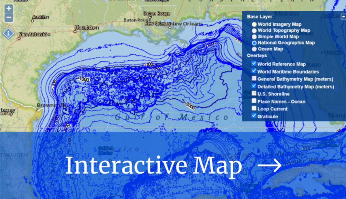
The Gulf of Mexico Data Atlas provides information about the physical environment, marine resources, socioeconomic activity and other aspects of the Gulf of Mexico that can be used to identify baseline conditions, status, and trends of the ecosystem. The atlas is a valuable resource for disaster relief and restoration efforts in the Gulf that links to a variety of data sources, including academic institutions and federal, state, and international agencies. It includes data from all five Gulf States (Alabama, Florida, Louisiana, Mississippi, and Texas), and its seaward boundaries extend to the Yucatan Channel and the Straits of Florida.
Resources
Map Catalog
See the Map Guide and Catalog for more information about each layer of the atlas.
Layers
- Physical
- Biotic
- Living Marine Resources
- Socioeconomic Conditions
- Environmental Quality
- Jurisdictions


