
The Coral Reef Temperature Anomaly Database (CoRTAD) is an annually updated, long-term, high resolution collection of weekly averaged sea surface temperature (SST) and related thermal stress metrics derived from the 4 km AVHRR Pathfinder Project. The CoRTAD was developed specifically for climate and ecosystem monitoring studies and applications, and provides insight into the relationship between coral disease, bleaching, and temperature stress.
Version 6
Details
- Data was developed using 1982– present SST data from the Pathfinder Version 5.3 processed to a resolution of approximately 4.6 km at the equator
- Includes ancillary sea ice concentration and marine wind speed data
- Highest resolution covering the longest time period of any satellite-based ocean temperature dataset
- Daytime and nighttime data were averaged weekly using data with a quality flag of 4 or better
Data
Citation
Saha, Korak; Zhao, Xuepeng; Zhang, Huai-min; Casey, Kenneth S.; Zhang, Dexin; Zhang, Yongsheng; Baker-Yeboah, Sheekela; Relph, John M.; Krishnan, Ajay; Ryan, Thomas (2018). The Coral Reef Temperature Anomaly Database (CoRTAD) Version 6 - Global, 4 km Sea Surface Temperature and Related Thermal Stress Metrics for 1982 to 2018. [indicate subset used]. NOAA National Centers for Environmental Information. Dataset. doi: 10.25921/ffw7-cs39. Accessed [date].
Versions
| Version | Time Frame | Dimensions | Format | Origin | DOI | Accession # |
|---|---|---|---|---|---|---|
| v6 (Current) | 01/02/1982 – 12/27/2020 | Global 4320x8640x1878 | netCDF-4.1.2 | Pathfinder 5.3 | 10.25921/FFW7-CS39 | 0175420, 0175481, 0175482, 0175483, 0175546, 0175547, 0175549, 0175550 |
| v5 | 01/02/1982 – 12/28/2012 | Global 4320x8640x1617 | netCDF-4.1.2 | Pathfinder 5.2 | 10.7289/V5CZ3545 | 0126774 |
| v4 | 10/31/1981 – 12/31/2010 | Global 4320x8640, Tile 540x540 | NetCDF-4 Classic | Pathfinder 5.2 | 10.7289/V59G5JR3 | 0087989 |
| v3 | 01/29/1982 – 12/31/2009 | Global 4096x8192, Tile 512x512 | HDF5 | Pathfinder 5.1 and 5.0 | N/A | 0068999 |
| v2 | 01/01/1982 – 12/31/2008 | Global 4096x8192, Tile 512x512 | HDF5 | N/A | N/A | 0054501 |
| v1 | 01/01/1985 – 12/31/2005 | Global 4096x8192, Tile 512x512 | HDF4 | N/A | N/A | 0044419 |
Background
Versions 1-3 incorporated pixels up to 5 degrees warmer than a course resolution reference SST based on the Reynolds Optimum Interpolation Sea Surface Temperature (Weekly, 1-degree OISST version 2.0). Since Pathfinder Versions 5.3 and 5.2 already use a finer resolution reference field (25 km Daily OISST) this step was not incorporated in CoRTAD Version 6, or in the previous CoRTAD Versions 4 and 5. These processes resulted in a weekly SST dataset that is roughly 80% gap free.
CoRTAD Versions 4, 5 and 6 contain a gap from 1994 day 275 to 1995 day 17 because Level 1B GAC data from NOAA-9 is not available from the NOAA archives. SST data for this time period (3.5 months) has been interpolated from Pathfinder 5.0, with 0.17K subtracted to transform the data to the skin temperature basis of Pathfinder 5.2 (for v4 and v5) and 5.3 (for v6).
Unlike Version 4 and earlier, Version 5 and Version 6 data are not stored in separate geographic tiles.
Paper Citation
Selig, E.R., K.S. Casey, and J.F. Bruno (2010). New insights into global patterns of ocean temperature anomalies: implications for coral reef health and management, Global Ecology and Biogeography, doi:10.1111/j.1466-8238.2009.00522.x.
Variables
- SST: Sea Surface Temperature
- SSTA: SST anomaly, the difference between weekly SST and weekly climatological SST
- TSA: Thermal stress anomaly, weekly SST minus the maximum weekly climatological SST
- SSTA_DHW: SSTA Degree Heating Week, sum of previous 12 weeks when SSTA >= 1 degree C
- SSTA Frequency: Number of times over the previous 52 weeks that SSTA >= 1 degree
- TSA_DHW: TSA Degree Heating Week, sum of previous 12 weeks when TSA >= 1 degree C
- TSA Frequency: Number of times over previous 52 weeks that TSA >=1 degree C
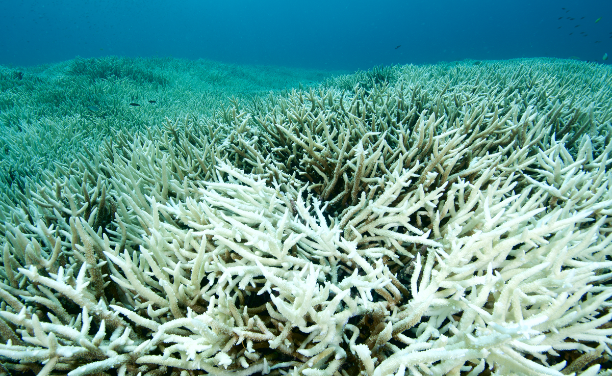
Graphics
These graphics illustrate mean, minimum, and maximum temperatures to provide a small glimpse into the database.


Animations
-
A view from a fixed vantage point over the equator (credit NOAA)
-
This view zooms around the globe, visiting the most heavily impacted regions (credit NOAA)
-
This view zooms over the Gulf of America and US East Coast (credit NOAA)
-
A view of the data provided by UCSB/NCEAS (credit UCSB/NCEAS)
-
Another view from a fixed vantage point over the equator (credit UCSB/NCEAS)
Related Publications
- Rebstock, G.A. and P.D. Boersma (2018). Oceanographic conditions in wintering grounds affect arrival date and body condition in breeding female Magellanic penguins, Marine Ecology Progress Series, 601, 253-267, doi:10.3354/meps12668.
- Halpern, B.S., M. Frazier, J. Potapenko, K.S. Casey, K. Koenig, C. Longo, J.S. Lowndes, R.C. Rockwood, E.R. Selig, K.A. Selkoe, and S. Walbridge (2015). Spatial and temporal changes in cumulative human impacts on the world's ocean, Nature Communications, 6(7615), 1-7, doi:10.1038/ncomms8615.
- Kleypas, J.A., F.S. Castruccio, E.N. Curchitser, and E. Mcleod (2015). The impact of ENSO on coral heat stress in the western equatorial Pacific, Global Change Biology, 21(7), 2525-2539, doi:10.1111/gcb.12881.
- Zavala-Garay, J., J. Theiss, M. Moulton, C. Walsh, R. van Woesik, C.G. Mayorga-Adame, M. Garcíia-Reyes, D.S. Mukaka, K. Whilden, and Y.W. Shaghude (2015). On the dynamics of the Zanzibar Channel, J. Geophys. Res. Oceans, 120(9), 6091-6113, doi:10.1002/2015JC010879.
- Zuo, X., F. Su, W. Wu, Z. Chen and W. Shi (2015). Spatial and temporal variability of thermal stress to China's coral reefs in South China Sea, Chinese Geographical Science, 25(2), 159-173, doi:10.1007/s11769-015-0741-6.
- Barneche, D.R., M. Kulbicki, S.R. Floeter, A.M. Friedlander, J. Maina, and A.P. Allen (2014). Scaling metabolism from individuals to reef-fish communities at broad spatial scales, Ecology Letters, 17(9), 1067-1076, doi:10.1111/ele.12309.
- Castruccio, F.S., E.N. Curchitser, and J.A. Kleypas (2013). A model for quantifying oceanic transport and mesoscale variability in the Coral Triangle of the Indonesian/Philippines Archipelago, J. Geophys. Res. Oceans, 118, 6123-6144, doi:10.1002/2013JC009196.
- Pineda, J., V. Starczak, A. Tarrant, J. Blythe, K. Davis, T. Farrar, M. Berumen and José C. B. da Silva (2013). Two spatial scales in a bleaching event: Corals from the mildest and the most extreme thermal environments escape mortality, Limnology and Oceanography, 58(5), 1531-1545, doi:10.4319/lo.2013.58.5.1531.
- Selig, E.R., K.S. Casey and J.F. Bruno (2012). Temperature-driven coral decline: the role of marine protected areas, Global Change Biology, 18(5), 1561-1570, doi:10.1111/j.1365-2486.2012.02658.x.
- Ban, S.S., N.A.J. Graham, and S.R. Connolly (2011). Relationships between temperature, bleaching and white syndrome on the Great Barrier Reef, Coral Reefs, 32(1), 1-12, doi:10.1007/s00338-012-0944-6.
- Stat, M. and R.D. Gates (2011). Clade D Symbiodinium in scleractinian corals: A “nugget” of hope, a selfish opportunist, an ominous sign, or all of the above?, Journal of Marine Biology, 2011, 730715, 9p., doi:10.1155/2011/730715.
- McLeod, E., R. Moffitt, A. Timmermann, R. Salm, L. Menviel, M.J. Palmer, E.R. Selig, K.S. Casey, and J.F. Bruno (2010). Warming seas in the Coral Triangle: Coral reef vulnerability and management implications, Coastal Management, 38(5), 518-539, doi:10.1080/08920753.2010.509466.
- Selig, E.R., K.S. Casey, and J.F. Bruno (2010). New insights into global patterns of ocean temperature anomalies: implications for coral reef health and management, Global Ecology and Biogeography, doi:10.1111/j.1466-8238.2009.00522.x.
- Halpern, B.S., C.V. Kappel, K.A. Selkoe, F. Micheli, C.M. Ebert, et al. (2009). Mapping cumulative human impacts to California Current marine ecosystems, Conservation Letters, 2(3), 138-148, doi:10.1111/j.1755-263X.2009.00058.x.
- Pirhalla, D.E., V. Ransibrahmanakul, R. Clark, A. Desch, T. Wynne, and M. Edwards (2009). An Oceanographic Characterization of the Olympic Coast National Marine Sanctuary and Pacific Northwest: Interpretive Summary of Ocean Climate and Regional Processes Through Satellite Remote Sensing. Prepared by NCCOS's Coastal Oceanographic Assessments, Status and Trends Division in cooperation with the National Marine Sanctuary Program. Silver Spring, MD. NOAA Technical Memorandum NOS NCCOS 90, 53 pp., https://repository.library.noaa.gov/view/noaa/16896.
- Selkoe, K.A., B.S. Halpern, C.M. Ebert, E.C. Franklin, E.R. Selig, K.S. Casey, J. Bruno, and R.J. Toonen (2009). A map of human impacts to a "pristine" coral reef ecosystem, the Papahanaumokuakea Marine National Monument, Coral Reefs, 28(3), 635-650, doi:10.1007/s00338-009-0490-z.
- Halpern, B.S., S. Walbridge, K.A. Selkoe, C.V. Kappel, F. Micheli, C. D'Agrosa, J.F. Bruno, K.S. Casey, C. Ebert, H.E. Fox, R. Fujita, D. Heinemann, H.S. Lenihan, E.M.P. Madin, M.T. Perry, E.R. Selig, M. Spalding, R. Steneck, R. Watson (2008). A global map of human impact on marine ecosystems, Science, 319 (5865), 948-952, doi:10.1126/science.1149345.
- Bruno, J.F., E.R. Selig, K.S. Casey, C.A. Page, B.L. Willis, C.D. Harvell, H. Sweatman, and Amy Melendy (2007). Thermal stress and coral cover as drivers of coral disease outbreaks, PLoS Biology, 5(6), e124, doi:10.1371/journal.pbio.0050124.
- Hoff, M. (2007). What's behind the spread of white syndrome in Great Barrier Reef corals? PLoS Biol, 5(6), e164, doi:10.1371/journal.pbio.0050164.
- Selig, E.R., C.D. Harvell, J.F. Bruno, B.L. Willis, C.A. Page, K.S. Casey and H. Sweatman (2006). Analyzing the relationship between ocean temperature anomalies and coral disease outbreaks at broad spatial scales. In; J.T. Phinney, O. Hoegh-Guldberg, J. Kleypas, W. Skirving, and A. Strong (eds.), Coral reefs and climate change: science and management. American Geophysical Union, Washington, DC, p. 111-128.
Cited In
- NOAA National Centers for Coastal Ocean Science (NCCOS) (2005). A Biogeographic Assessment of the Channel Islands National Marine Sanctuary: A Review of Boundary Expansion Concepts for NOAA's National Marine Sanctuary Program. Prepared by NCCOS's Biogeography Team in cooperation with the National Marine Sanctuary Program. Silver Spring, MD. NOAA Technical Memorandum NOS NCCOS 21, 215 pp., https://repository.library.noaa.gov/view/noaa/2161.
- NOAA National Centers for Coastal Ocean Science (NCCOS) (2007). A Biogeographic Assessment off North/Central California: In Support of the National Marine Sanctuaries of Cordell Bank, Gulf of the Farallones and Monterey Bay. Phase II - Environmental Setting and Update to Marine Birds and Mammals. Prepared by NCCOS's Biogeography Branch, R.G. Ford Consulting Co. and Oikonos Ecosystem Knowledge, in cooperation with the National Marine Sanctuary Program. Silver Spring, MD. NOAA Technical Memorandum NOS NCCOS 40, 302 pp., https://repository.library.noaa.gov/view/noaa/17785.


