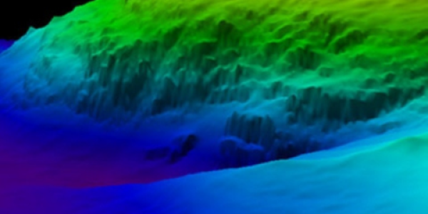
The coastal lidar archive includes data from both topographic and bathymetric lidar surveys along U.S. coasts. Data in the archive span from the mid-1990s to the present and are collected using a variety of different lidar systems. The extent of individual lidar surveys varies, ranging from shoreline strips to full county coverage. Many different organizations have contributed to the lidar data collection, including federal, state and local partners. Data are available for all U.S. coastal states and include multiple U.S. territories such as Puerto Rico, U.S. Virgin Islands, Guam, and American Samoa. NCEI is the long-term archive for U.S. coastal lidar data distributed publicly through the NOAA Office for Coastal Management.

Digital Coast: Data Access Viewer
To access U.S. coastal lidar data visit NOAA's Digital Coast: Data Access Viewer.
For questions about NCEI’s lidar archive, contact: mgg.info@noaa.gov.
Additional Resources
- NOAA National Ocean Service’s lidar facts
- NOAA Office for Coastal Management's Digital Coast
- U.S. Interagency Elevation Inventory
- NCEI Coastal Elevation Models
- Sign up for the OCM Newsletter to stay up to date on U.S. lidar, IfSAR, and coastal bathymetric data.
 encompasses the U.S. Eastern Seaboard, Gulf of Mexico, Puerto Rico/U.S. Virgin Islands, and Hawaii.")