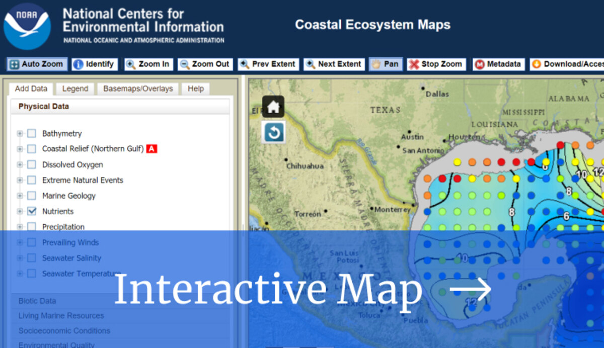
This map integrates layers from the Gulf of Mexico Data Atlas into a single environment that allows users to select and view datasets individually or simultaneously. Additional data layers include model data such as sea surface currents, overlays for bathymetry, location names and other contextual information. Many layers include interactive elements with queryable attribute information. Maps contain data from all five Gulf States (Alabama, Florida, Louisiana, Mississippi, and Texas).


