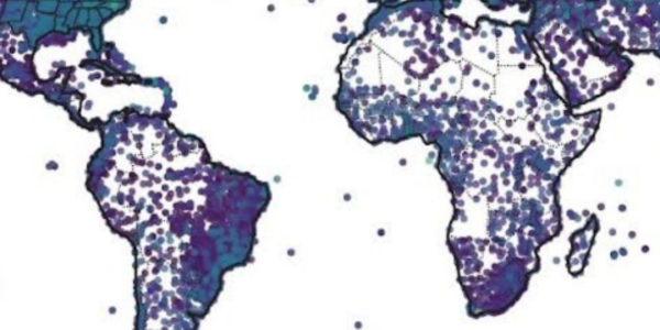
Global Precipitation Climatology Project (GPCP) datasets provide monthly, pentad (five-yearly), and daily precipitation analysis from surface and satellite measurements for 1979–present (1997–present for daily). The World Data Center for Meteorology serves as a secondary conduit of this data in conjunction with NASA/GSFC.
1 Degree Daily (1DD) Precipitation Estimate
The GPCP One-Degree Daily Precipitation Dataset (1DD Dataset) provides daily, global 1x1-deg gridded fields of precipitation totals for October 1996–present with a delay of about three months. The 1DD draws upon several different data sources covering different areas of the globe. The complete record has been made as homogeneous as possible, given the different available input sources.
GPCP Monthly Product
The monthly satellite-gauge and associated precipitation error estimates are the GPCP’s two primary monthly products. The Version 2.3 monthly product covers January 1979–present, with a delay of two to three months for data reception and processing. Version 2.3 supersedes all previous versions of the GPCP monthly product, including Versions 1, 1b, 1c, V2x79, 2, 2.2 and 2.1. (Previous versions are not available from the NOAA/NCEI archive).
Pentad Data
Version 2.2 of the pentad (five-yearly) product covers January 1979–present, with a delay of two to three months for data reception and processing. Version 2.2 supersedes all previous versions of the GPCP pentad product (Previous versions are not available from the NOAA/NCEI archive).
All the pentad GPCP products are produced by optimally merging precipitation estimates computed from microwave, infrared, sounder data observed by the international constellation of precipitation-related satellites, and precipitation gauge analysis, taking advantage of the strengths of each data type. Files are provided monthly, and the newest pentad data are appended to a yearly data file as they are available. Data are available on a 2.5 degree grid.
Contact Information
General inquiries about NCEI participation in international activities, regarding specific functions and services of the World Data Center for Meteorology, Asheville or requests for data should be directed to:
-
- Email: wdcamet@noaa.gov
- Data Inquiries: +1 (828) 271-4800


