Scientists study Earth’s climate and how it changes in a variety of different ways, using satellite, instrumental, historical, and environmental records. One challenge of using satellite and instrumental data is that their lifespans have been rather short when compared to Earth’s life. The satellite record is only a little over 20 years old and the instrumental record generally only extends back into the 19th century. Both of these records are too short to study certain climate processes that occur over hundreds to thousands of years.
Looking for Natural Environmental Clues
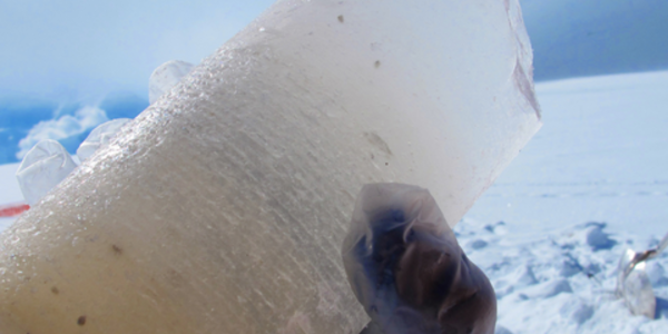
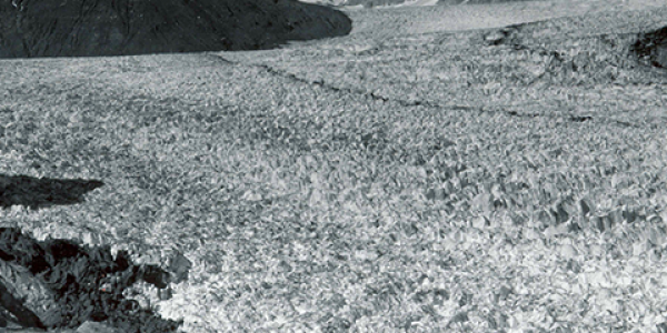
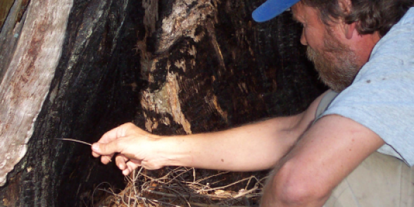
To extend those records, paleoclimatologists look for clues in Earth’s natural environmental records. Clues about the past climate are buried in sediments at the bottom of the oceans and lakes, locked away in coral reefs, frozen in glaciers and ice caps, and preserved in the rings of trees. These natural recorders provide scientists with information about temperature, precipitation, and a number of other aspects of climate. Many of them have some type of layers, bands, or rings that represent a fixed amount of time, which can be as precise as a year or growing season. The layers vary in thickness, color, chemical composition, and more, which allows scientists to extrapolate information about the climate at the time each layer formed.
Piecing Together the Puzzle of Past Climate
Scientists can fit the pieces of information from many different types of natural recorders together to get an overall sense of the global climate. Typically, records that have large timespans have less detail about short-term climate changes, while shorter records are often more detailed. To combine them, scientists must use records with similar levels of temporal detail or account for these disparities to accurately paint a picture of ancient climates.
Visit the Paleoclimatology Data page to learn more about and access all of the historical data our Paleoclimatology Program stewards.


